NORWOOD HISTORICAL SOCIETY
[HOME] [SOCIETY] [PEOPLE] [COMPANIES] [BUILDINGS] [STREETS]
[TRANSPORTATION] [BOOKS] [CLIPPINGS] [DATES] [GOVERNMENT] [ODDS & ENDS]
[RESEARCHING YOUR HOUSE] [SUBDIVISIONS]

SUBDIVISION OF THE BELL TRACT

ADDITION TO NORWOOD

(a.k.a. BELL PLACE SUBDIVISION)
Town 4 / Fractional Range 2 / Section 34
(* indicates a link to the Hamilton County Recorder's website)
(** indicates a link to familysearch.org - cite using this:
"Ohio, Hamilton County Records, 1791-1994." Images. FamilySearch. http://FamilySearch.org : accessed 2014.)


BELL PLACE SUBDIVISION Plat Map [Plat Book 11 / Page 22]*
    The streets in or adjacent to this subdivision are:
  • Montgomery Road
  • Smith Road
  • Elm Avenue
  • Sherman Avenue
    Plat document information:
  • July 10, 1891: Norwood Platting Commission accepted subdivision plat
  • July 28, 1891: Owners adopted plat and dedicated streets and sidewalks for public use.
  • July 29, 1891: Entered for record by Auditor
  • July 29, 1891: Received by Recorder's Office
  • August 10, 1891: Recorded by Recorder's Office
Owners: Louis K. Marty, Trustee, and Benjamin F. Smith


Interesting Facts
On the plat map, Montgomery Road was recorded as 60 feet width and Elm and Sherman Avenues were 50 feet wide, however Smith Road was only 40 feet wide. On the west side of Sherman Avenue a 5-foot strip was donated as part of a 10-foot wide sidewalk for public use. If the extra 5 feet was also taken from the street, Smith would have become only 30 feet wide!
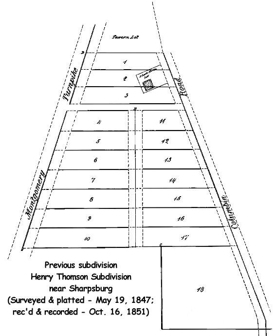
On the plat document was the following: "Note–This subdivision is intended to take the place of a former Subdivision made by Henry Thomson Record in Plat Book 4 Page 103 Ham. Co, Records" (1851)

DEED & MORTGAGE INDEX

The following Deed/Mortgage Index Books contain the pages for lists of real estate transactions. For each transaction will be the names of the Grantors & Grantees (Sellers and Buyers), Mortgagors & Mortgagees and the corrsponding Deed Book and page numbers. Using that information, the deed record for that transaction can be found.

    8th Series Index Book/Page:
    7th Series Index Book/Page (1927-38):
      Deed Index:
    • Lots 1-29 (1927-32): 72 / 308**
    • Lots 1-29 (1932-38): 72 / 310**
    • BLANK 72 / 312
    • Lots 30-35 (1928-37): 72 / 314**
      Mortgage Index:
    • Lots 1-29 (1927-38): 72 / 309**
    • Lots 1-29 (1938): 72 / 311**
    • BLANK 72 / 313
    • Lots 30-35 (1928-38): 72 / 315**
    6th Series Index Book/Page (1918-27):
      Mortgage Index:
    • Lots All (19??-23): 18 / 343**
    • Lots All (1923-26): 18 / 345**
    • BLANK 18 / 347
    • BLANK 18 / 349
    5th Series Index Book/Page (1903-18):
      Mortgage Index:
    • Lots All (19??-??): 27 /53**
    • Lots All (19??-??): 27 / 55**
    4th Series Index Book/Page (1903-18):
No listing in Series 3 or earlier.


[HOME] [SOCIETY] [PEOPLE] [COMPANIES] [BUILDINGS] [STREETS]
[TRANSPORTATION] [BOOKS] [CLIPPINGS] [DATES] [GOVERNMENT] [ODDS & ENDS]
[RESEARCHING YOUR HOUSE] [SUBDIVISIONS]